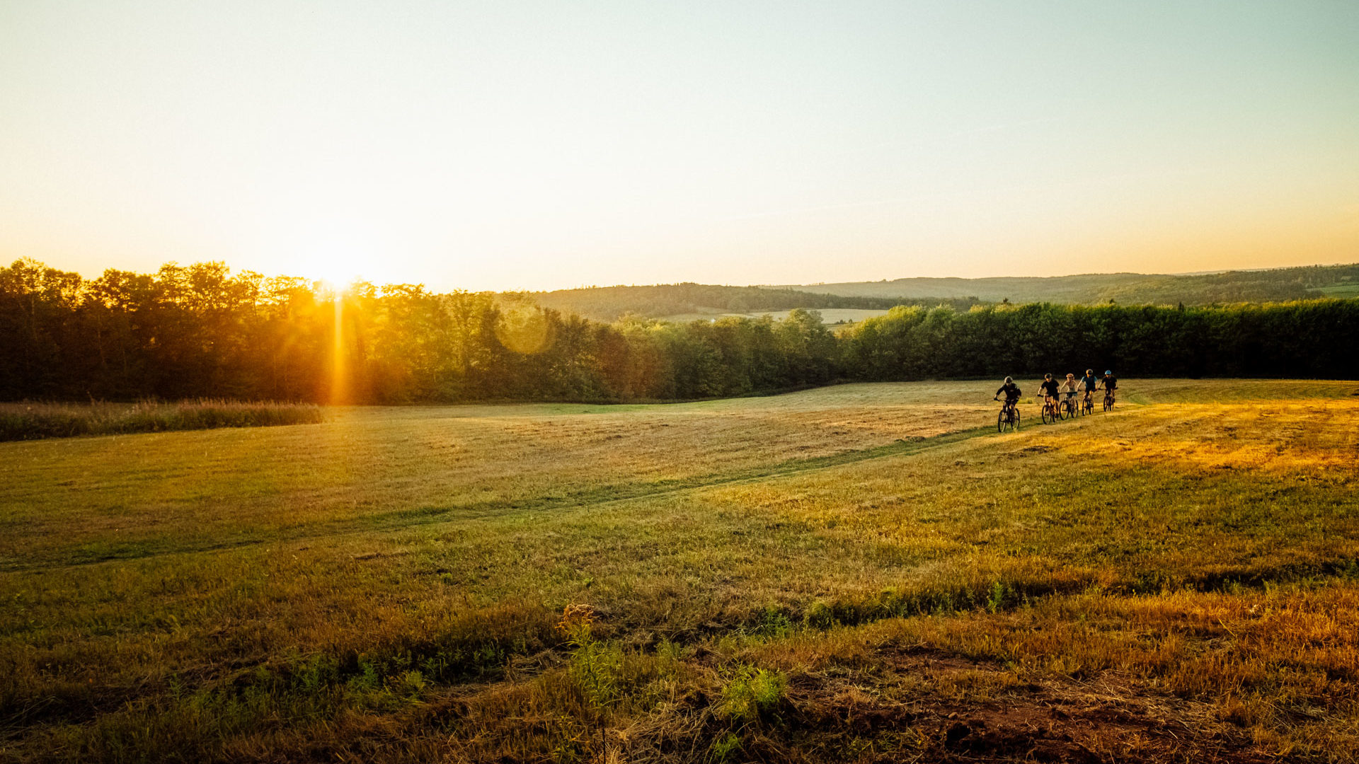


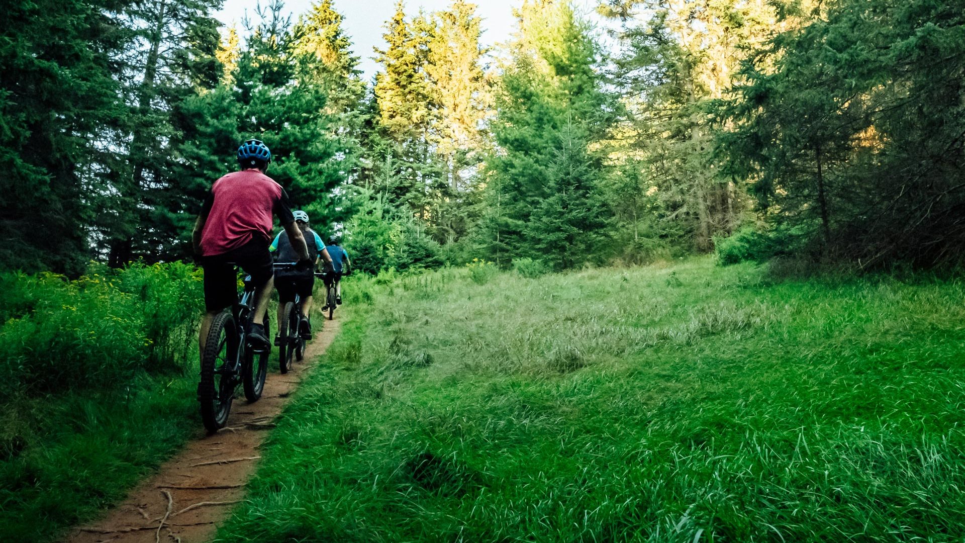
What to Expect:
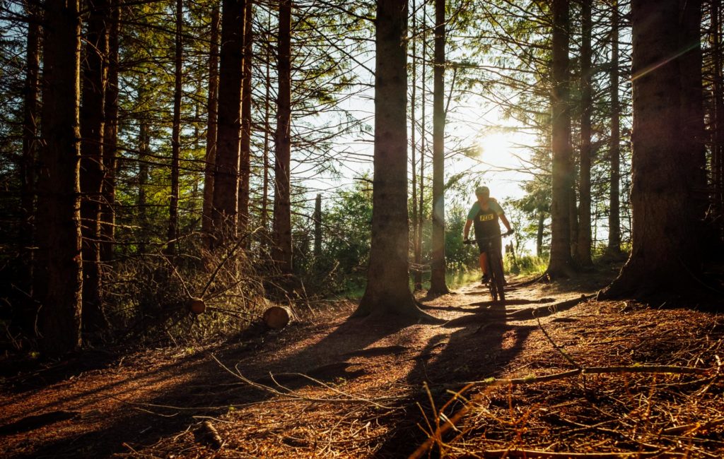
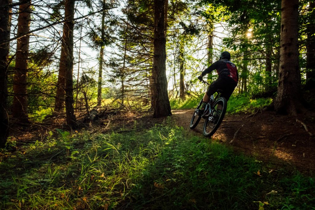
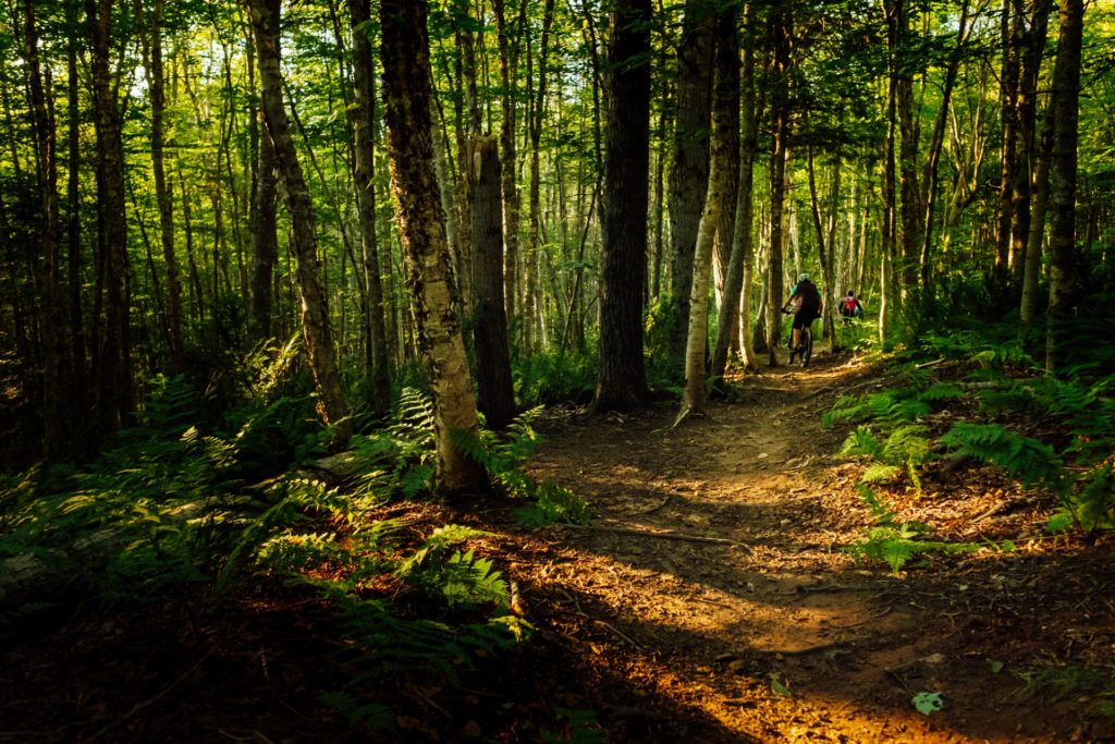
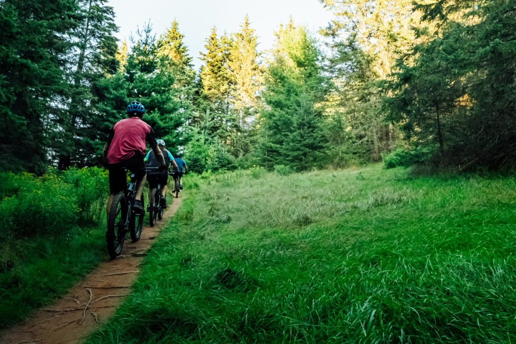
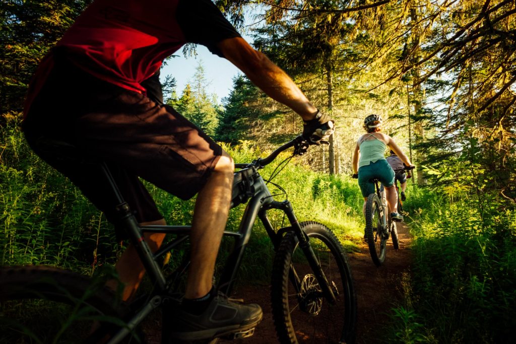
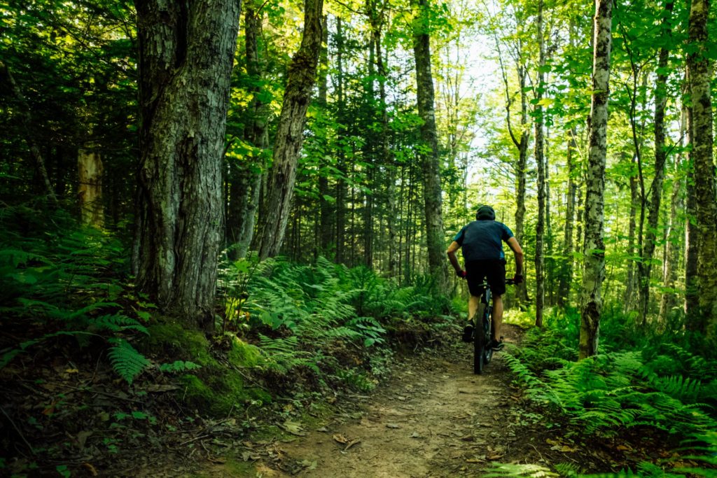
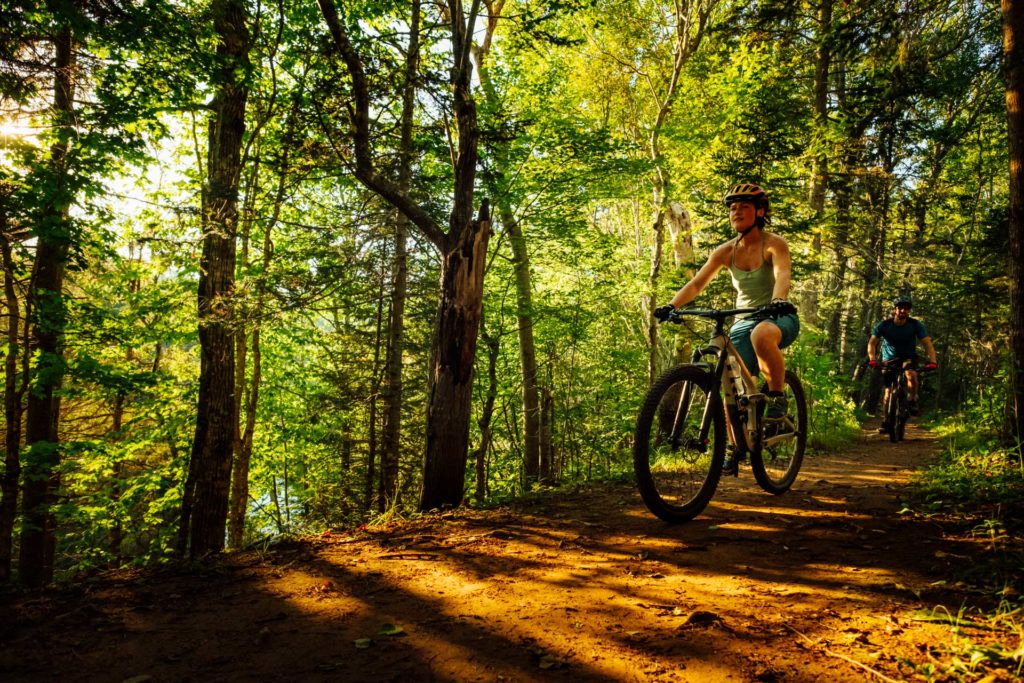
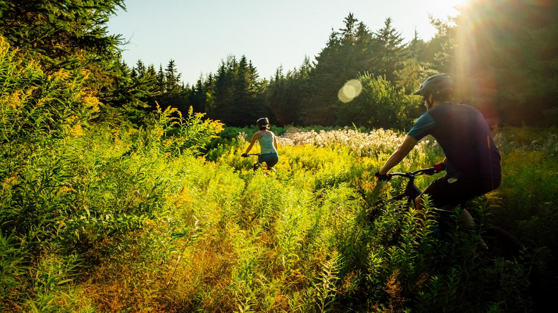
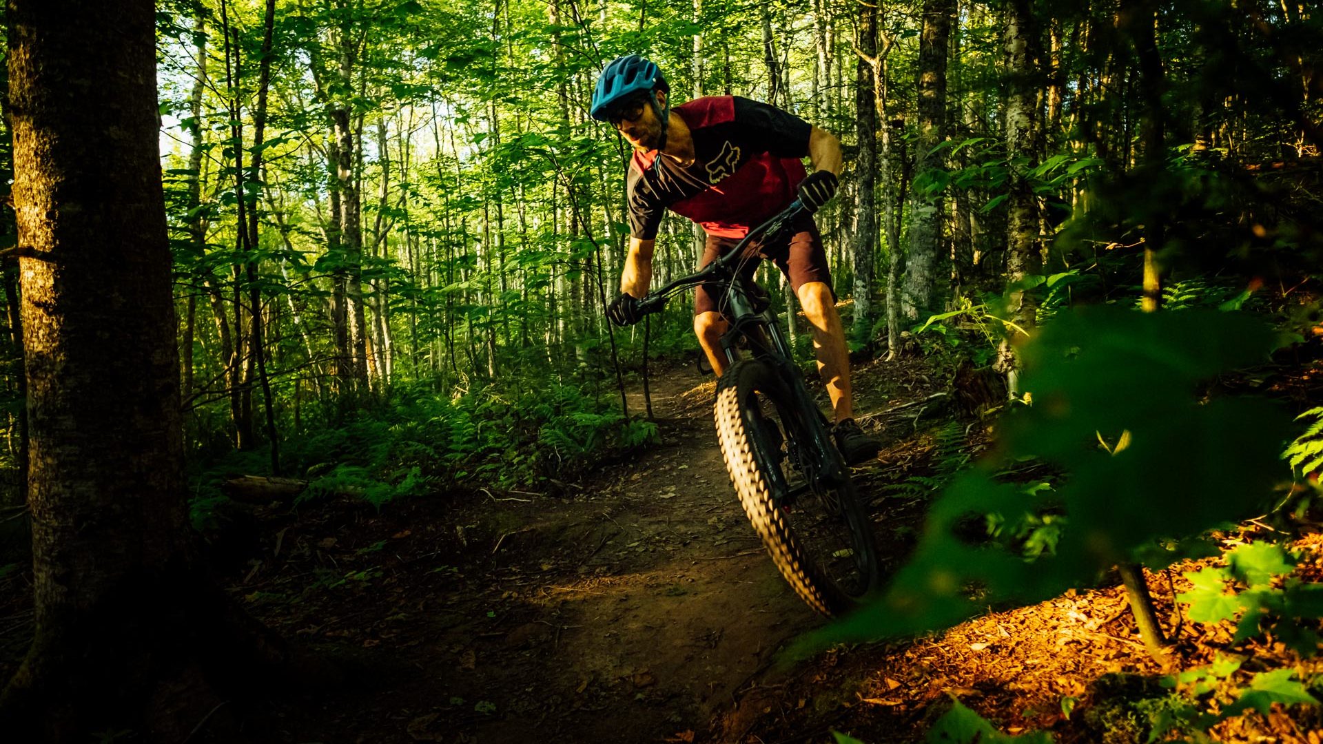
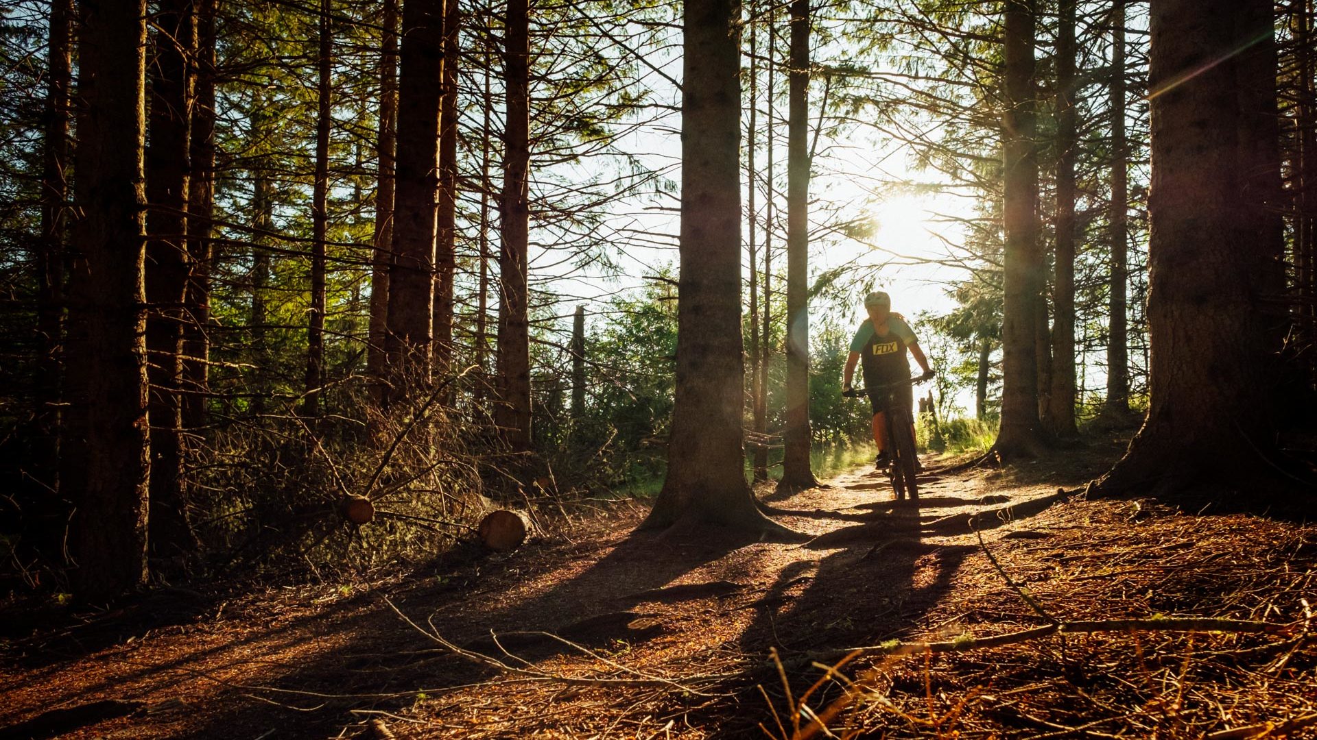
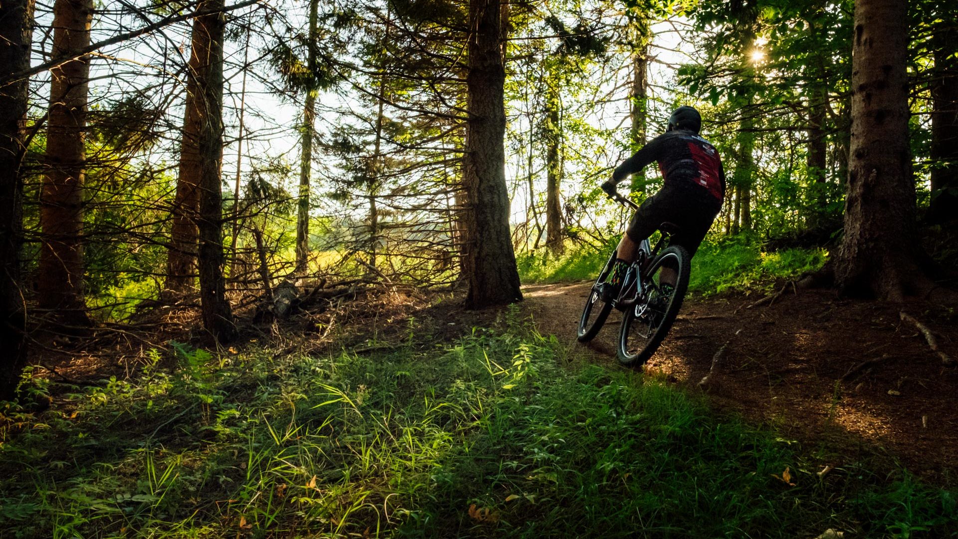
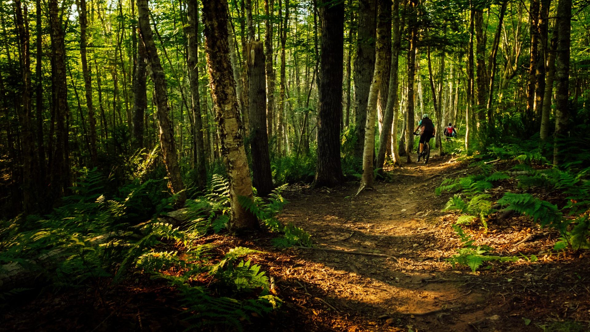
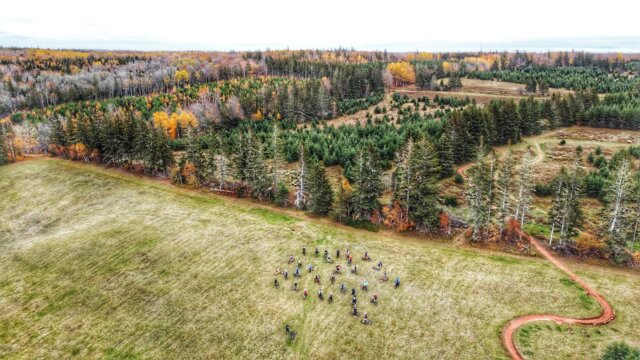
The Bonshaw trail network is just 20 minutes from Charlottetown and Borden and spans throughout the Strathgartney Provincial Park and the Bonshaw Provincial Park. The 25km of trails are perfect for intermediate and advanced riders. From the smooth, flowy Elliot River Run to the rooty, technical Goat Trail, this location is ideal for an afternoon of fun! The trail systems are connected via the Bonshaw bridge underpass and the Strathshaw Link. Being a multi-use trail system and a popular hiking destination, mountain bikers need to ride with care!
For
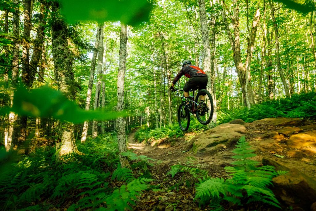
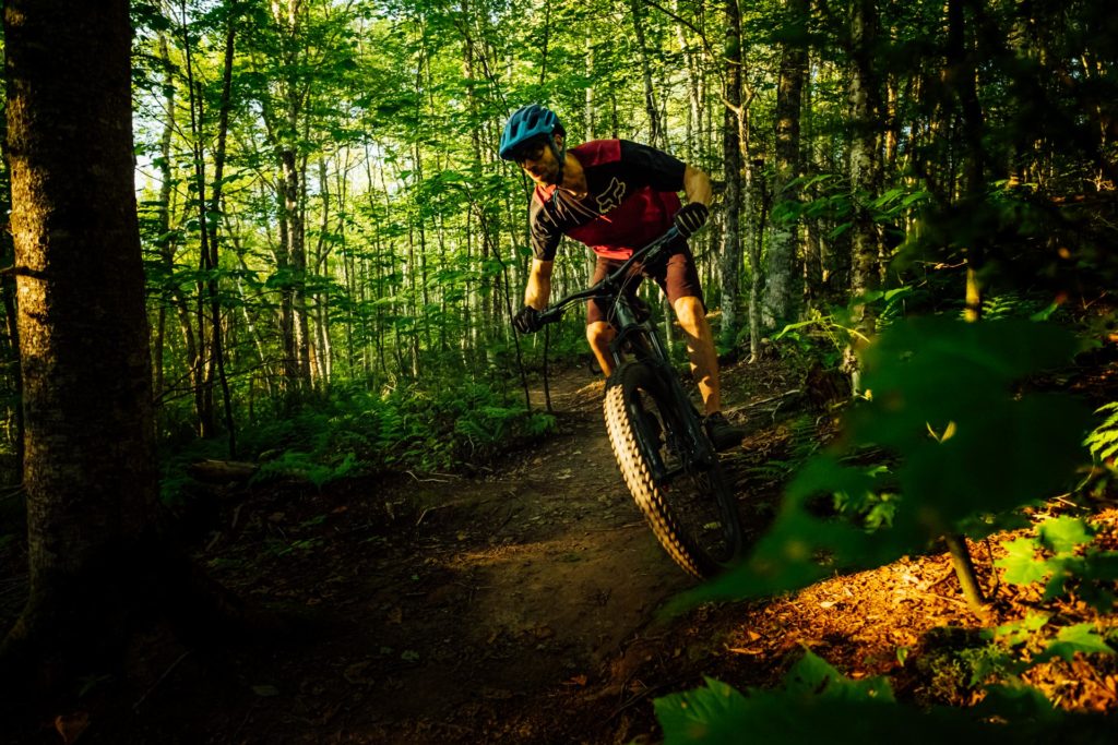
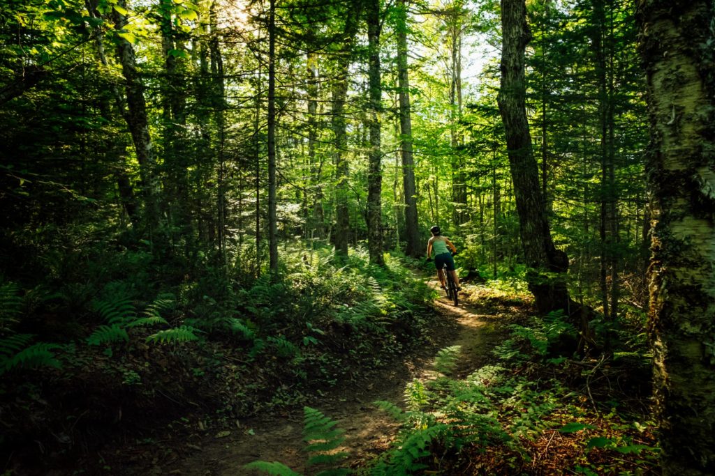
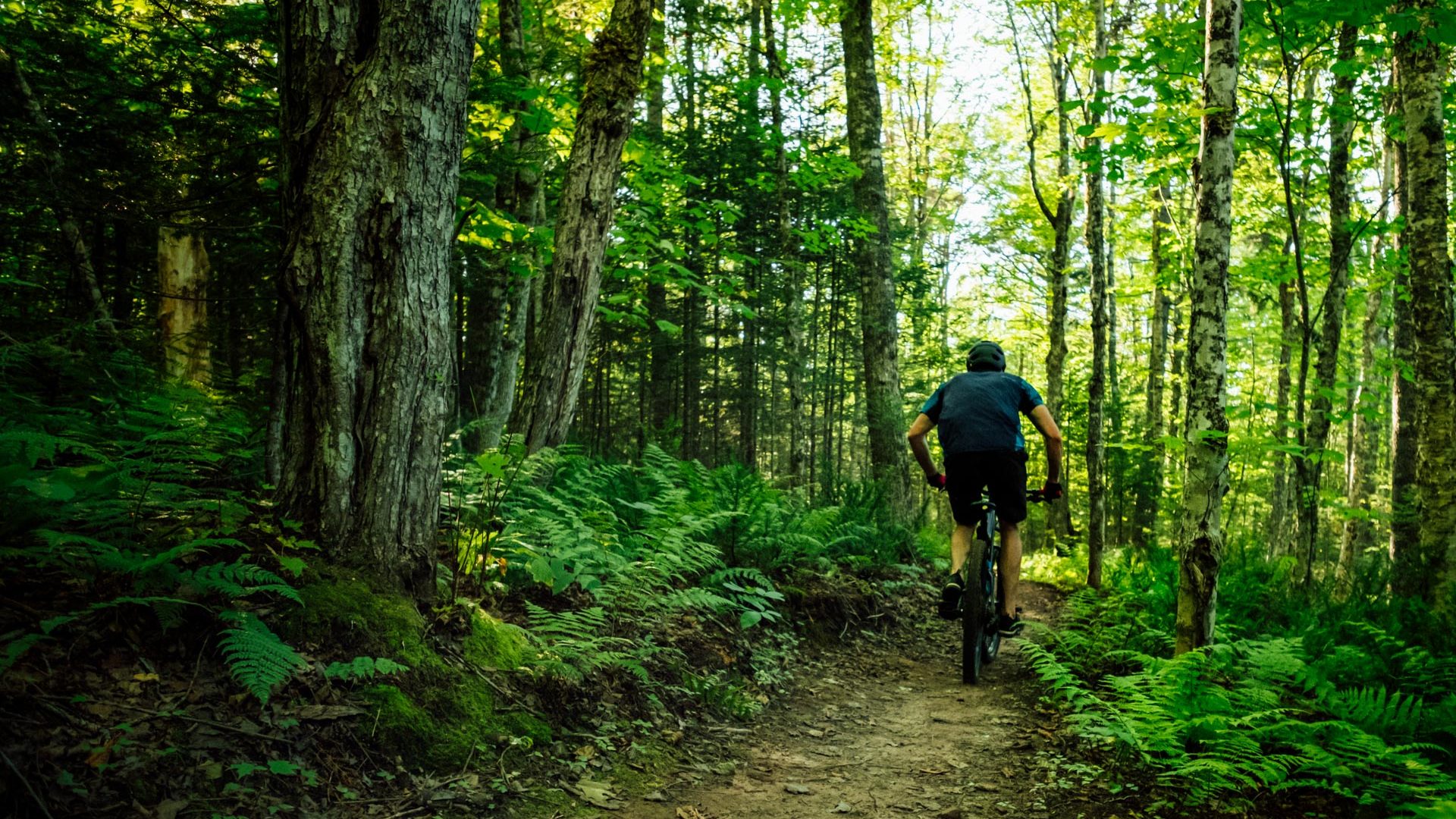
Riders should have some singletrack mountain biking experience before riding here. Many trails have rocks, roots and the occasional technical climb, which may be challenging for beginners. However, parts of the main Ji’ka’we’katik trail could be suitable for the ambitious beginner if they proceed with caution.
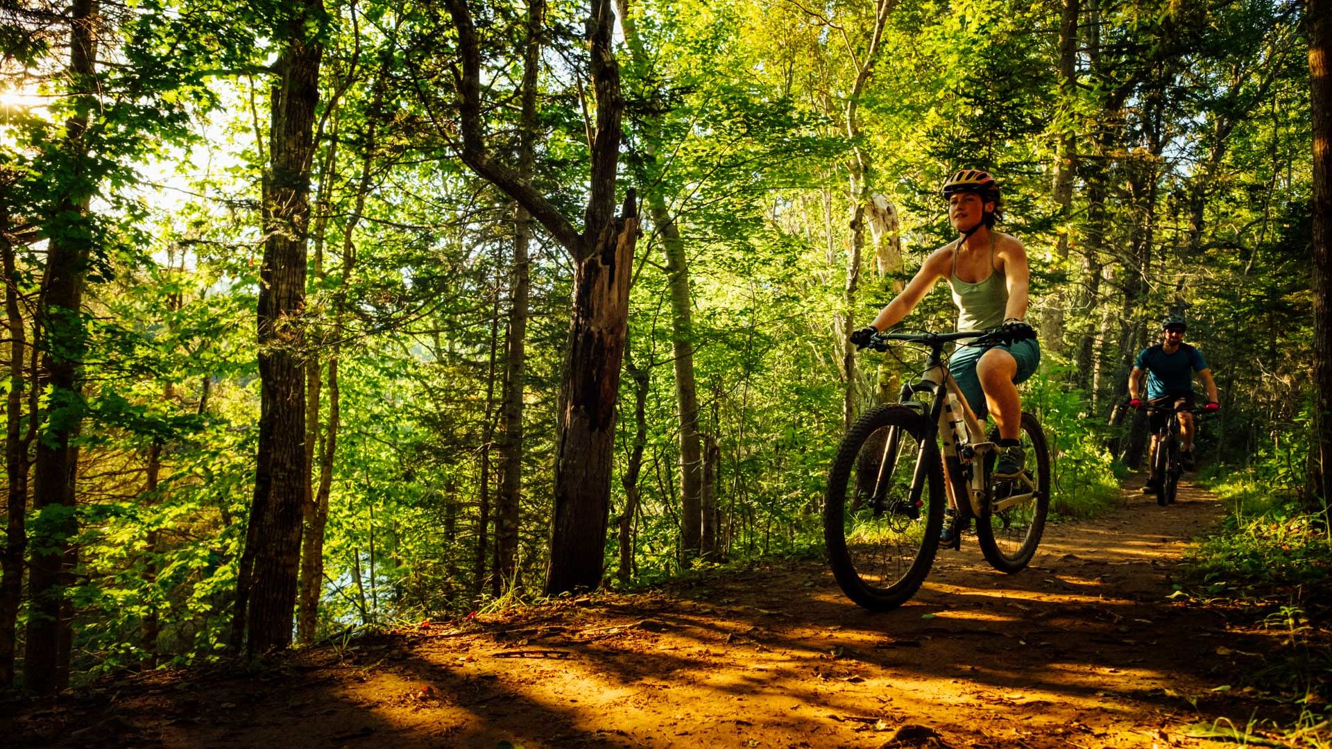
Bonshaw is the perfect trail system for intermediate riders with a variety of terrain to challenge your riding abilities. The trails are strategically designed for mountain bikers with hard-packed dirt with roots, rocks and bridges. For those who enjoy climbing, there is plenty of elevation on the Strathgartney side to give the legs a test and trails such as Hardwood Hills and Switchbacks on the Bonshaw side will be sure to keep your cardio in check.
No double black diamond trails exist in this network however there is plenty of technical riding for experts to enjoy. Rock n Roll and the Goat Trail are a must-do for advanced riders and the Elliot River Run although rated green is the most popular trail in the system. Make sure to ride Elliot River Run both ways but be cautious of other riders as this trail is FAST! Regardless of skill level, everyone will enjoy the fast and f lowy blue trails throughout the network.
- Difficulty:
-
-
- Trails:
- 22
- Entrances:
- 3 Get Directions
- Total Distance:
- 24 km
- Total Descent:
- 750 m
- Total Vertical:
- 85 m
- Trail & Community:
- Visit Website


Trail Map:
-
Lookout Parking Lot
The lookout parking lot is just off the Trans Canada Highway and leads into the Strathgartney trail system.
-
MacKinnon Road
MacKinnon Rd; just off Riverdale Rd. and enters into the back end of the Bonshaw trail system.
-
Bonshaw Provincial Park Parking Lot
Bonshaw Provincial Park is also just off the Trans Canada Highway with a kids park and washroom facilities. Many hikers use this parking lot and the western trails so it’s recommended for mountain bikers to use one of the other two options.
Bike friendly businesses close by:
-
Open Community Filters

-
Displaying:
9
Businesses
-
Reset Filtering & Search Results

Sorry - there are no results for these filters. Please try again.

Quest Carbon Cycles
All Quest Carbon Cycles bikes are made with Toray Carbon Fiber. Quests client concierge service allows clients to be part of the build giving them unrivaled customization in building their bikes. The unique direct to consumer model allows the bike to arrive right at your door.

Outdoor Elements Alma
Outdoor Elements is an outdoor adventure outfitter with locations in Sussex, Alma and Fundy National Park. We are a specialty ski shop in the winter months and a bike and outdoor retailer during the summer months. As the official adventure outfitter in Fundy National Park, we currently offer canoe, kayak and paddle board rentals at Bennett Lake and Mountain bike and fat bike rentals at the Chignecto Recreation Area.
Outdoor Elements Sussex
Outdoor Elements is an outdoor adventure outfitter with locations in Sussex, Alma and Fundy National Park. We are a specialty ski shop in the winter months and a bike and outdoor retailer during the summer months. As the official adventure outfitter in Fundy National Park, we currently offer canoe, kayak and paddle board rentals at Bennett Lake and Mountain bike and fat bike rentals at the Chignecto Recreation Area.

Meridian 63 MTB
Meridian63 MTB offers full-service mountain bike lessons and tours. Life is better on a mountain bike!
Shoreline Dirtworks
Shoreline Dirtworks designs, builds and maintains world class pump tracks, mountain bike parks and mountain bike trails.

Outer Limit Sports
Outer Limit Sports has been operating on PEI since 1994. Providing the best sales and service experience is our goal. We sell the best brands in the business. Offering full repair shop with fast service. Whether you are purchasing a new bike or renting a bike to see PEI, we are your one stop shop.

Keppoch Mountain
Positive Action for Keppoch is a charitable non-profit with a mission to provide outdoor recreational and educational opportunities for people of all ages. This is achieved through management of a professional-grade non-motorized trail system for mountain biking, hiking, and Nordic sports.

CycleSmith
Giving you the best service and selection has been Cyclesmith's focus since 1986 and has established us as the premier bike store in Halifax and Atlantic Canada. We offer the best brands in the industry, the largest selection of bikes, accessories and clothing, a complete full-service repair department, a bike fitting studio, and friendly and knowledgeable personnel.

Ride East
Based in Halifax, Nova Scotia, Ride East provides Mountain Bike adventures and instruction in Eastern Canada. Whether you’re a beginner or a seasoned veteran, our certified guides will match your ability and fitness to the proper terrain to provide you with an unforgettable mountain bike experience.
Recent Posts About Bonshaw Provincial Park


Other trail networks close by:

Robinsons Island
Prince Edward Island
The Robinsons Island Trail System is located in the National Park near Brackley Beach. It is a 5 km multi-use beginner to intermediate family-friendly trail. It is open to bikers and hikers with a pump track located next to the trail entrance.

Mark Arendz Provincial Park at Brookvale
Prince Edward Island
The trail network consists of a combination of flat, smooth terrain, flowy machine built trail and old-school rooty, technical riding all carved through the famous red PEI dirt!

Rotary Park
Prince Edward Island
The park is a beautiful network of tree lined gravel and clay trails on a 64 acre parcel of land. The park contains a network of nearly 6.5 km’s of trails

Gairloch
Prince Edward Island
Gairloch features a 7km loop with mainly singletrack and several access roads open to mountain bikers. Clockwise is a popular direction, but this trail can be ridden both ways. Most of the trail has tight, rooty singletrack built for intermediate and advanced riders.